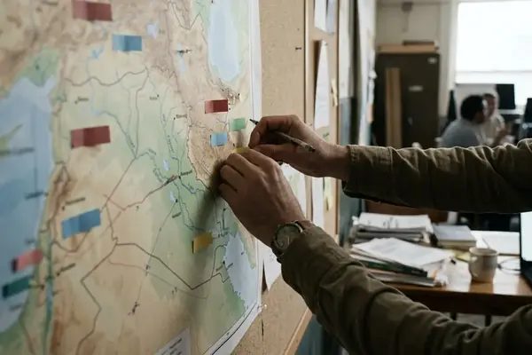
Do Civic Axes Reveal Deliberate Geomantic Planning?
Why do historic civic monuments, obelisks, and seats of government consistently align along precise, unacknowledged terrestrial axes?
The evidence does not establish that they consistently do. Testing an apparent alignment requires three complementary layers: historical maps predating the relevant development, software that calculates geodesic bearings, and archival records explaining the design. Together, these can establish intentional civic geometry. An attractive line on a satellite image establishes much less.
I separate the inquiry into three propositions: buildings share a measurable axis; planners deliberately created that axis; planners assigned it an esoteric meaning. Each requires its own evidence. Collapsing them turns a cartographic observation into an unsupported account of institutional power.
Washington's 1791 plan provides a documented starting point. Diagonal avenues connect prominent public locations across a rectilinear street grid; historical versions survive in the Library of Congress. That geometry supports an investigation of civic design. Any further claim about concealed purpose needs documentary support.
Strict cartographic verification also separates documented Fraternal participation and Beaux-Arts civic planning from speculative dowsing. “Ley line” can name the hypothesis under examination, provided the reporting keeps measurement, authorship, and symbolism distinct.
Build the Map Record Before Drawing the Axis
A courthouse footprint on a Sanborn sheet offers a useful beginning: a dated building, its surrounding streets, and evidence of neighboring land uses. Start there rather than with an undated pin.
The Library of Congress Sanborn Maps Collection covers maps published from 1867 through 1970. Coverage and online availability vary. Obtain municipal plats and engineering surveys from city archives, county recording offices, and library collections; the Sanborn collection does not replace those records.
Preserve Dates and Coordinate References
Log each sheet's survey date, publication date, revisions, scale, and repository. Nineteenth-century industrial-era maps may provide exactly the evidence a civic district requires; “pre-industrial” is an unnecessarily restrictive filter.
Use desktop GIS to georeference historical sheets against stable control points. Preserve the original layers and record the coordinate reference system. Calculate endpoint distance and initial azimuth through an inverse geodesic calculation on a stated ellipsoid, such as WGS 84. A straight line on a web Mercator basemap cannot substitute for this calculation.
Pack Instruments With Auditable Settings
- Sighting compass: adjustable declination, with readings recorded separately from true-north bearings.
- Clinometer and camera: for horizon angles, sightlines, and physical inscriptions.
- Survey-capable GNSS receiver: log receiver mode, correction service, datum, and reported uncertainty.
Use a dated geomagnetic model or government calculator for local declination. Today's correction cannot reconstruct a nineteenth-century survey bearing. Satellite overlays also remain preliminary where imagery accuracy is undocumented: roof displacement and georeferencing error can shift apparent monument centers.
Which Monuments Belong in the Same Historical Test?
Should a relocated obelisk count toward an axis drawn before its move? Only at its historical position. That question exposes the central difficulty of node selection: present-day proximity can conceal incompatible chronologies.
Define the study boundary and eligible categories before searching. Candidates can include Masonic temples, neoclassical courthouses, war memorial obelisks, historic waterworks, parish churches, and documented Indigenous earthworks. Record each site's construction interval, dedication date, relocation history, and architectural reference point. Establish which nodes actually coexisted.
For foundation stone ceremonies, examine municipal minutes, building-commission files, contemporary newspapers, and grand-lodge proceedings. Transcribe the ceremony date, officiating organization, and wording describing its role. These details constrain what the record can support.
A Dedication Has Limits
A lodge's participation in laying a foundation stone establishes its ceremonial involvement. Design records, survey instructions, or correspondence must establish who specified the boulevard's bearing and any symbolic purpose.
Then compare the proposed line with contours, river crossings, ridge routes, parcel boundaries, and older roads. A route following a valley presents a different question from a boulevard cutting across contours toward a designated monument. Neither geometry alone establishes esoteric intent. For that, seek attributable language from planners, patrons, or contemporary records.
Calculate Bearings Without Manufacturing a Pattern
Adding another monument cannot rescue an axis selected after searching every available monument. Dense urban inventories generate accidental alignments, and the search procedure determines how persuasive any apparent match should appear.
Alfred Watkins introduced his alignment idea in 1921, followed by Early British Trackways in 1922 and The Old Straight Track in 1925. His discussion of tracks, churches, mounds, and standing stones supplies historical context for ley-line claims, rather than a validated statistical test of urban planning.
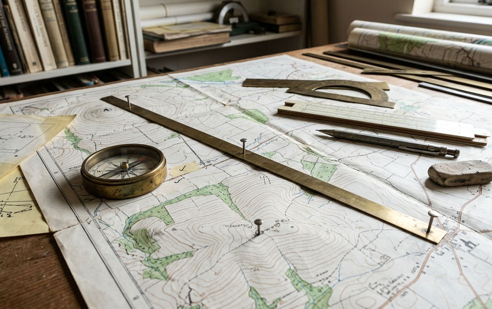
- Freeze the inputs. Record the boundary, eligible inventory, architectural reference points, and error corridor before generating lines.
- Plot consistent centers. Use a dome's surveyed vertical axis or an obelisk's base center. Avoid switching to entrances or parcel corners to improve the fit.
- Calculate the geometry. Report axis length, initial true azimuth, coordinates, cross-track offsets, source dates, and positional uncertainty.
- Test the search itself. Compare with randomized arrangements that preserve relevant street orientation, eligible parcels, and clustering. Account for the candidate lines searched.
- Return to the archive. Look for independent instructions explaining why the axis took that course.
An exploratory four-node candidate warrants scrutiny; a five-node cutoff still supplies no significance test. Set spatial tolerance from evidence quality rather than an unexplained universal threshold. A larger node count cannot compensate for selective inclusion or incompatible dates.
Walk the Sightline and Audit the Foundation Stones
Begin the field visit at the proposed endpoint, carrying plotted coordinates and historical views. Stand at the architectural reference point where access permits; otherwise record the offset. Photograph toward the opposite endpoint and measure the visible horizon.
The walk answers a narrower question than the archive: what can an observer see now? Pair the earliest relevant plan with a dated nineteenth-century view and present-day photography where available. If a high-rise interrupts the corridor, establish its construction date before attributing the obstruction to modern zoning.

Log observation date, time, coordinates, instrument position, bearing reference, horizon angle, and photograph direction. For survey disks, including USGS marks where present, transcribe the issuing agency, designation, and date. Consult the corresponding government record: an elevation benchmark may provide no horizontal control for the monument's position.
Photograph foundation inscriptions, directional rotunda mosaics, and geometric street furniture with permission. Establish installation and restoration dates. Later decorative geometry cannot demonstrate the original street planner's intentions.
When a measured civic axis also matches a solstice bearing, will you accept the match as proof, or require the dated survey and planning instructions identifying who specified it?