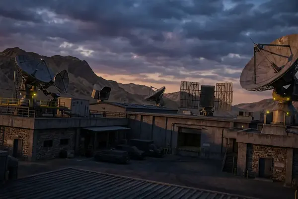
The Antarctic Treaty System creates an exceptional regime of controlled access, suspended sovereignty and reciprocal scrutiny. The public instruments, however, do not establish a unified geopolitical quarantine. They regulate activity south of 60 degrees south through national permits, environmental review and consensus rules. Claims of a continent-wide military lockdown outrun the available record.
In this Article- What the Antarctic Treaty System actually governs
- Why Cold War rivals accepted the same rules
- How to assess subglacial and geophysical anomalies
- Where Antarctic access restrictions come from
- How independent researchers can monitor southern traffic
Defining the Antarctic Treaty System and the Global Quarantine
The legal foundation is a binding international agreement signed by 12 states on 1 December 1959. It entered into force on 23 June 1961 and applies to land, ice shelves and covered activities south of latitude 60 degrees south, while preserving high-seas rights.
The wider Antarctic Treaty System includes the original treaty, subsequent environmental rules and measures adopted by the participating governments. Its architecture produces tight controls in some places and considerable freedom in others. Treating the entire structure as a border closure obscures how authority actually moves from international rules to domestic law.
Article I prohibits military measures, including weapons testing and fortifications. The same article expressly allows military personnel and equipment to support scientific research or other peaceful purposes. Article V separately prohibits nuclear explosions and the disposal of radioactive waste. The official text of the Antarctic Treaty therefore matters more than photographs of military aircraft on an ice runway: the aircraft’s mission, authorization and cargo determine its legal meaning.
The environmental protocol, signed in 1991 and effective from 14 January 1998, added another layer. It prohibits mineral-resource activities other than scientific research and requires advance environmental assessment for covered activities.
The Real Anomalies
- Seven pre-existing territorial claim positions remain preserved rather than resolved.
- Three claims overlap.
- Two major powers maintain reserved positions concerning possible claims.
- Consultative parties make rules by consensus.
- Designated observers hold reciprocal inspection rights over stations, equipment, ships and aircraft within the treaty framework.
These features make Antarctica a geopolitical anomaly. Rival states accepted a system that freezes legal confrontation without forcing any government to surrender its position. That is a sophisticated containment mechanism, though the object being contained is sovereign conflict rather than civilian presence itself.
The Geopolitical Anomaly of Unified Superpower Cooperation
Why did Cold War adversaries accept demilitarization in a territory with strategic location, uncertain resources and unresolved claims?
The sequence supplies a less dramatic, and more useful, answer than the image of a sudden secret bargain. A multinational scientific campaign in 1957–1958 had already distributed researchers and infrastructure across Antarctica. Preparatory diplomatic talks followed during 1958 and 1959. The final Washington conference ran from 15 October through 1 December 1959.
Governments entered those negotiations with incompatible sovereignty positions and a shared interest in preventing those positions from producing an expensive confrontation. The compromise linked four elements: demilitarization, scientific cooperation, inspection and deliberate non-resolution of ownership.
Article IV performed the crucial legal work. Conduct during the treaty’s operation cannot create, support, deny or enlarge a territorial claim. Claimant and non-claimant governments could therefore use the same airfields, exchange scientific observations and inspect facilities without treating every act as evidence in a future sovereignty dispute.

Enforcement also differs from the familiar image of a sealed frontier. Article VII permits designated observers to inspect stations, installations, equipment, ships and aircraft at Antarctic loading or discharge points. Parties must provide advance notice of expeditions, occupied stations and military personnel or equipment introduced under the peaceful-use exception.
There is no standing treaty police force, central border agency or permanent Antarctic navy. Governments implement obligations through their own permit and criminal-law systems, while consultative parties adopt measures by consensus. Modern rivals continue to cooperate because the mechanism preserves their positions and reduces the risk that another state will convert activity into a stronger territorial claim.
The editorial review behind this assessment is restricted to publicly acknowledged treaties, implementing rules and diplomatic chronology from 1959 onward. Classified bilateral arrangements, if any exist, remain outside verifiable reach. That limit prevents the absence of a public document from becoming evidence for a hidden one.
Suppressed Anomalies and the Subglacial Frontier
An anomaly begins with an instrument. Radar measures ice thickness and reflective interfaces. Gravity observations detect variations in mass. Magnetic surveys map contrasts among crustal materials. Combining those categories into a single theory strips each measurement of its physical constraints.
Antarctica nevertheless contains features worthy of sustained scrutiny. Researchers had catalogued more than 600 subglacial lakes by the early 2020s. The largest known example extends approximately 250 kilometres in length and 50 kilometres in width beneath roughly 4 kilometres of East Antarctic ice. Its scale can sound engineered when detached from glaciology; its detection depends on radar reflections, ice-sheet geometry and supporting geophysical interpretation.
A buried mountain system beneath East Antarctica runs for roughly 1,200 kilometres. Airborne radar and gravity surveys reveal peaks, valleys and sedimentary basins under a surface that offers almost no visible topographic clue. Here the broader principle is straightforward: concealment by ice creates an observational frontier, not proof of deliberate suppression.
The broad positive gravity feature beneath Wilkes Land presents a harder interpretive problem. Published explanations include dense mantle material, volcanic structure and a possible impact-related feature. Satellite gravity alone cannot uniquely distinguish among them. Seismic evidence and geological constraints would be needed to narrow the cause.
Magnetic anomalies create a similar temptation. Over East Antarctica, they mark contrasts among crustal blocks, intrusive rocks and ancient tectonic boundaries. Researchers use them precisely because direct access to most bedrock remains impossible. A colorized anomaly map may look conclusive while hiding the spatial resolution, processing filters and uncertainty that shaped it.
Demand Raw Coordinates
Cross-check claims against geolocated radar profiles and documented Level-1 or Level-2 satellite products. Screenshots without acquisition details cannot establish where a feature lies, how strongly the instrument resolved it or which filters altered its appearance.
Radar has limits that matter to any investigation. Ice temperature, water content, bed roughness, aircraft geometry and instrument frequency all affect performance. A missing or discontinuous reflector cannot establish an artificial cavity or a deliberately hidden structure by itself.
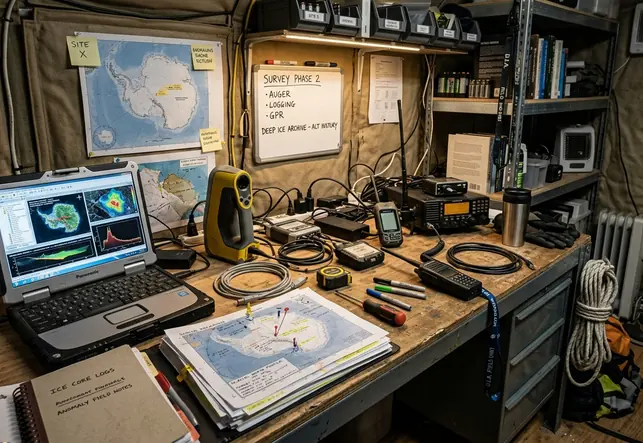
Scientific specialization can make the record feel compartmentalized. A radar paper may address reflectivity without resolving tectonics; a gravity study may model density while leaving hydrology aside. The remedy is methodological synthesis: align location, acquisition date, instrument type, processing level and uncertainty before proposing a common cause.
Enforcing the Ice Lockdown: Access Restrictions and Logistics
Practical access control starts with a chain of authority: treaty obligation, national implementing law, permit decision, environmental assessment, vessel rules and site-specific restrictions. Skipping a link creates the illusion that a single command centre controls every movement.
The boundary at 60 degrees south defines the treaty area. It does not operate as a general maritime exclusion line. Ships may cross subject to flag-state law, navigation requirements, environmental obligations, protected-area rules and any applicable national authorization.
Protected Areas and Permits
Entry into an Antarctic Specially Protected Area requires a permit specifying the authorized activity, location, dates and conditions. An Antarctic Specially Managed Area may impose a management plan without automatically receiving identical permit treatment. Researchers should verify the area designation before interpreting a rerouted vessel or denied landing.
Environmental review can begin with a preliminary assessment and progress to an initial environmental evaluation. A comprehensive environmental evaluation applies when an activity may have more than a minor or transitory impact. The responsible national authority issues or denies authorization; no central Antarctic government processes every expedition.
Military aircraft, ships and personnel regularly support logistics and search-and-rescue work under Article I. Their presence supplies evidence of capability, not purpose. Cargo records, flight plans, notices and the operating context carry more analytical weight than camouflage paint or a military hull designation.
The requested case pattern of independent explorers routinely intercepted by military patrols is absent from the supplied public record. Documented interventions involving private expeditions generally concern missing authorization, protected-area rules, unsafe navigation, customs or port jurisdiction, or emergency rescue. None substantiates a routine policy of turning expeditions back solely because they are independent.
Trace The Authority
Before labeling an incident an interception, identify the government involved, the legal instrument invoked, the permit status, the location and the agency that acted. Port denial, rescue assistance and enforcement inside a protected area describe different events.
Reviews of publicly acknowledged military logistics, no-fly restrictions and maritime perimeters can illuminate how states sustain Antarctic programs. They cannot resolve classified tasking or undisclosed operations. That scope boundary is especially important where routine military support gets recast as evidence of a continent-wide enforcement fleet.
Monitoring the Quarantine: Next Steps for Independent Researchers
Independent monitoring works best when it preserves observations before assigning motive. The task is to build a reproducible traffic record that another researcher can audit.
- Build the watchlist. Record each vessel or aircraft identifier from an official fleet or registration source. Add published program schedules, port records and permit material where available.
- Create two geofences. Use the legal treaty boundary at 60 degrees south and a wider watch band from 55 to 60 degrees south. Treat the Antarctic Convergence as a seasonally shifting oceanographic boundary rather than a fixed latitude.
- Preserve raw maritime records. Collect observations at the shortest interval the source retains. Keep timestamp, latitude, longitude, speed over ground, course over ground, navigation status, vessel identifier, destination and reported draught. Store the untouched export beside any cleaned dataset.
- Establish normal movement. Use 30–90 days before the first expected Antarctic crossing to compare recurring port calls, average transit speed and routine reporting gaps.
- Screen for loitering. A reproducible candidate rule is speed below 3 knots for at least 6 continuous hours within a 25-nautical-mile radius. Test each candidate against ice concentration, weather, survey-line geometry, station resupply and search-and-rescue notices.
- Track aviation separately. Retain timestamp, position, altitude, ground speed, track, callsign and aircraft identifier. Sparse ground-receiver coverage may reveal a flight only near departure and arrival unless satellite-derived observations are available.
A discrepancy between a manifest and a track requires disciplined comparison. A vessel described as supporting a station may pause offshore because ice blocks the final approach. Parallel low-speed lines may indicate a geophysical survey. Repeated circles can mark equipment deployment, holding patterns or loitering. Track geometry acquires meaning only after comparison with weather, ice, permits and mission records.
Transponder silence deserves equal caution. Interpolating across a long reporting gap can draw a vessel through a protected or restricted sector it never entered. Only timestamped position reports should support an incursion claim. Preserve retrieval time, time zone and original metadata so later corrections remain visible.
Protect The Evidence
- Keep original files unchanged.
- Document every filtering and cleaning step.
- Separate observed positions from inferred routes.
- Record alternative explanations before assigning intent.
The most useful next move is concrete: set automated alerts on an open-source maritime tracking platform for every military-designated icebreaker on the watchlist, triggering when it enters the 55-to-60-degree-south band and again when it crosses south of 60 degrees, with a separate location-based alert adjusted to the current Southern Ocean convergence zone.